20 Sep Justifying GPS & Geocaching
I recently felt compelled to write a justification for including GPS units and geocaching in traditional latitude and longitude curricular activities at the elementary level. Why? There are lots of sites that talk about the benefits of geocaching in a very general sense. I wanted to reflectively add some specificity to the growing body of educators using GPS units to supplement students’ understanding of geography, latitude, and longitude.
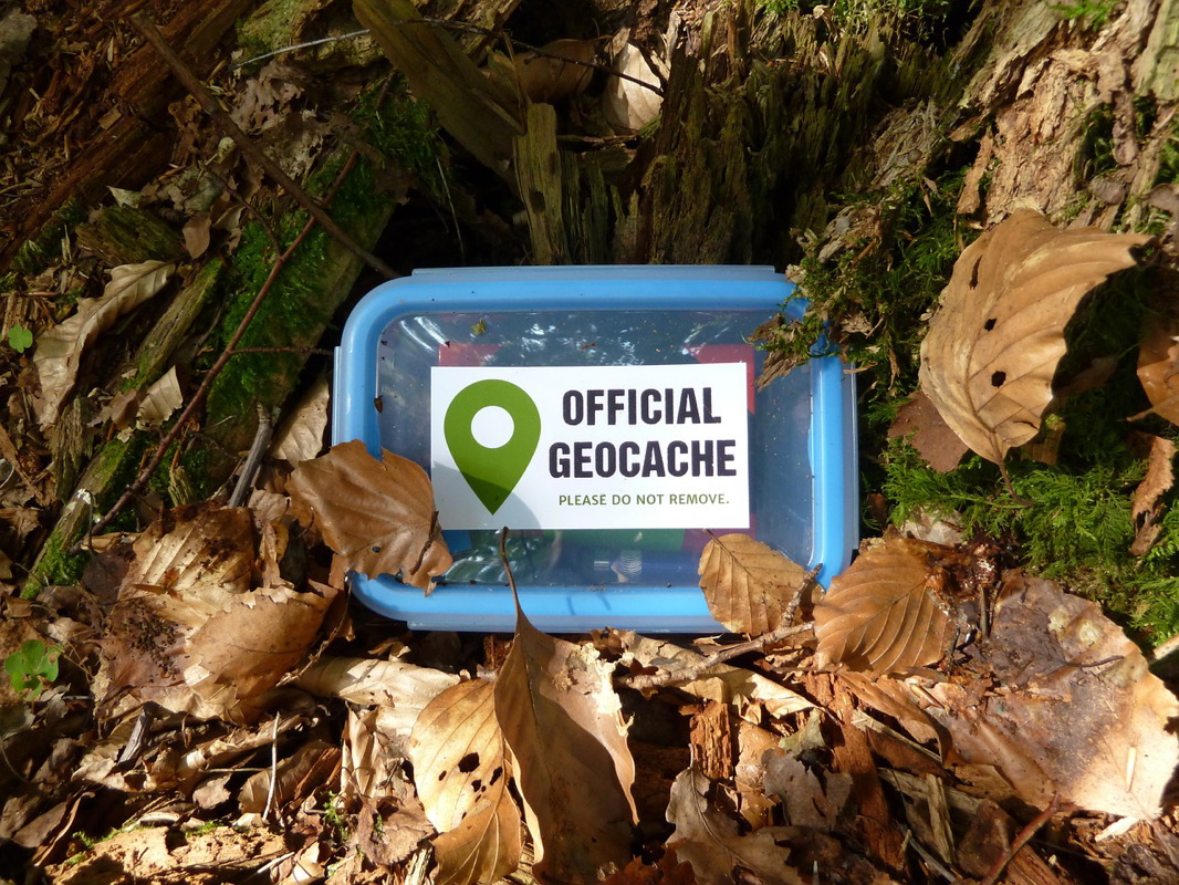
Background: Students participated in a number of pre-geocaching lessons that covered latitude, longitude, and maps. After establishing a basic proficiency level, students learned about GPS units and the basics of geocaching. All of the students then searched for a number of caches placed throughout the school property.
Latitude and Longitude Revelations
A line of latitude or longitude does not run parallel to buildings, field lines, or major objects.
This seemed like such an obvious conclusion to me, but it wasn’t for the students. I think that this false idea has to do with ingrained notions driven by map study; most spend their time learning on a flat map with scaled down images of continents and countries. Continents and countries matter less as latitude and longitude markers when using a GPS unit outside in a manageable focused area like a field or school yard. I am surmising that the students thought that latitude and longitude must play into the construction and layout of real objects because of the relative size which, of course, is wrong.
A line of latitude and longitude does not vary by degrees, minutes, or seconds when using a GPS unit in a relatively confined area like a field or school yard.
Location varies by fractions of a second. Whoa! This blew the students’ minds. Once again, studying and learning from maps in a typical sixth grade text cemented the idea that degrees must always change (consider the latitude and longitude for Atlanta versus New York City). The geocaching project destroyed this misconception.
There is a connection between North, South, East, and West (compass) when using latitude and longitude.
Prior to the geocaching activity, most students found latitude and longitude using math skills in paper and pencil exercises that showed their proficiency at coordinate grids. Yes, they could properly label the coordinates with N, S, E, W but their knowledge was superficial in the (-x, y) and formulaic sense. Conversely, when the students searched for geocaches they had to walk North or South to arrive at the specific latitude. They had to walk East or West to arrive at a line of longitude. The students needed directions and prompting to realize that this was both necessary and helpful despite the fact that almost every child could run their finger along lines of latitude and longitude on a paper map.
The students practiced some creative, out-of-the-box thinking when searching for the geocaches.
It became a necessity to quickly reposition the GPS unit at an alternative point when objects like buildings stood in the way. The common remedy for circumventing physical obstacles was to throw an arm out to indicate the line of latitude or longitude, move around to the new point, rediscover the line of latitude or longitude, and then continue searching. This worked more often than not. This type of problem solving never appeared during our pre-geocaching activities because there aren’t physical obstacles on a paper map.
The students discovered the connection between latitude and longitude and real world applications in fields like archeology and science.
Finding and locating a geocache was tangible just like marking the location of an artifact (dinosaur bone) in scientific domains is real. The students started asking questions like, “If GPS units are accurate only to 10 feet, why would an archeologist use one to mark the location of a small bone? Anybody trying to find the bone would have to still search for the artifact, and it could become frustrating.” These questions didn’t arise within the four walls of the classroom.
- [accordionitem]
Settergren. (2014). Geocache, Geocaching, Cache, Small. Retrieved 4 May 2015, from http://pixabay.com/en/geocache-geocaching-cache-small-398016/
[/accordionitem]
Sorry, the comment form is closed at this time.